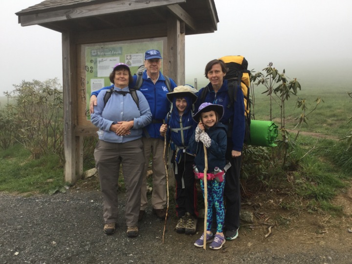
This is a story about backpacking trip conceived by my grandson Cody. He wanted to do a backpack with his family and grandparents. My wife picked the route — it is centrally located between the two family homes; it has the mystique of being on the Appalachian Trail; and most importantly, it has a negative net elevation change. Here are the participants just before heading out on the trail: Mary, me, Cody, Skyler, Diane. Son-in-law Chad is on a professional trip and will join us later. It is so foggy that you can barely see a few feet and certainly not the summit.
Before discussing the backpack proper, I will say something about the end points. They both have interesting histories.
Max Patch
Max Patch is a mountain on the Tennessee — North Carolina border. Its summit, at 4,630 feet, is in North Carolina. It was once forested, but legend has it that Indians burned it, apparently for visibility. Since then there has been homestead, a logging mill, and an air strip on the mountain. In 1982 the Forest Service bought the 382 acre mountain top. Today they use mowing and controlled burning to maintain the bald appearance.
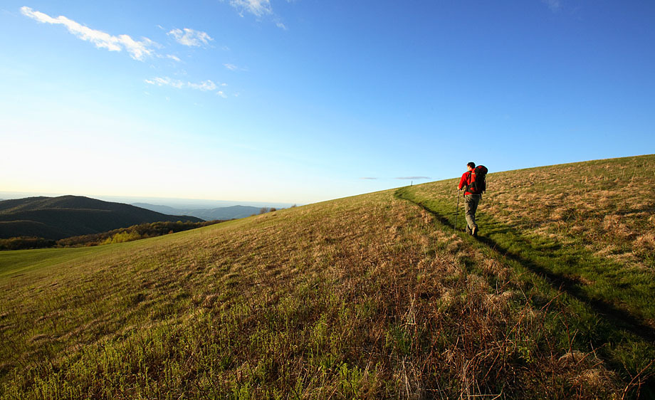
This picture is the only picture in this presentation not taken by a member of our party. Click here for its source.
Hot Springs
Hot Springs, NC is noted for its healing mineral springs and scenic mountain setting. Native Americans were the first to discover the 100-plus degree mineral water spring that gave the town its name. A commercial spa was developed in the early 1800s. The ruins of two buildings that were part of the original spa still exist. Now, next to the ruins, there is a modern building where you can have massage. Along side the creek there is a row of covered jacuzzies that they fill with hot spring water on demand.
I’m guessing that today, Hot Springs is better known as a trail town. The Appalachian Trail passes through the middle of town, and many of the businesses cater to backpackers. The elevation of Hot Springs is 1,326 feet, and by the Appalachian Trail, is 20 miles from the Max Patch summit.
The Meet Up
We met at Hot Springs the night before our backpack so as to get an early start the next day. The French Broad River Festival started on the next day, and we got the last room in town.
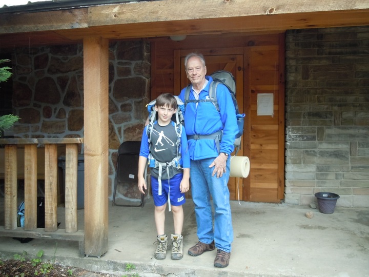
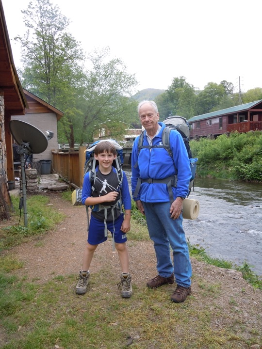
Here the gentlemen are posing with their packs in front of and beside the Creek Side Motel.
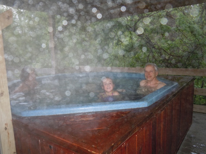
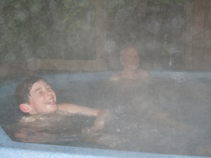
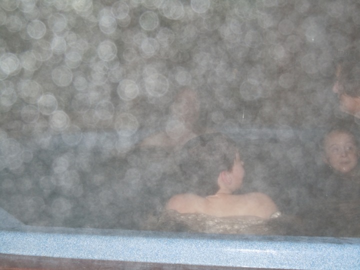
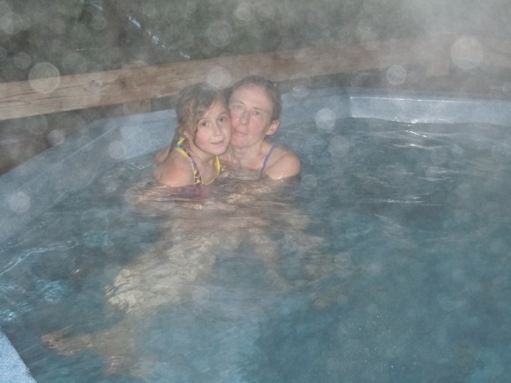
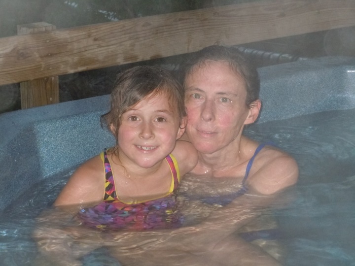
The Spa
Diane treated us to an hour in a jacuzzi filled with water from the springs. On the walk from our motel, on the lawn of the Spa, there are some irresistible rocks.
The jacuzzi was great! Naturally, the mister had to be on.
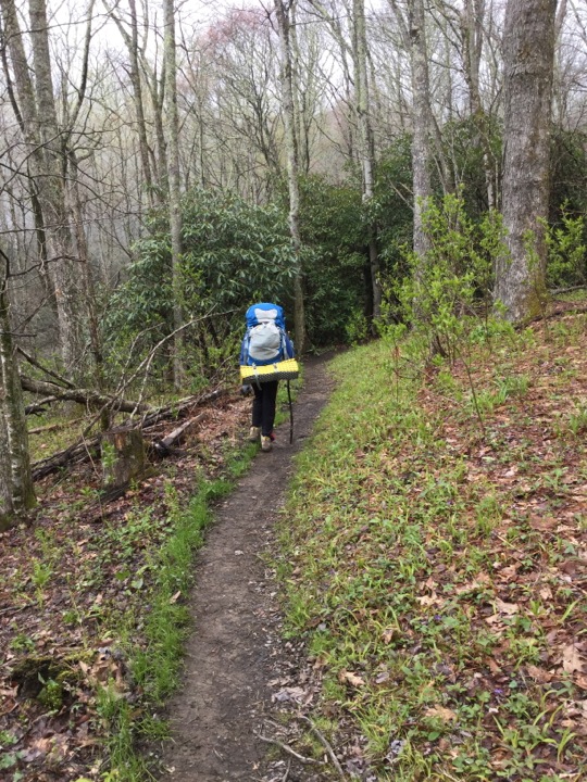
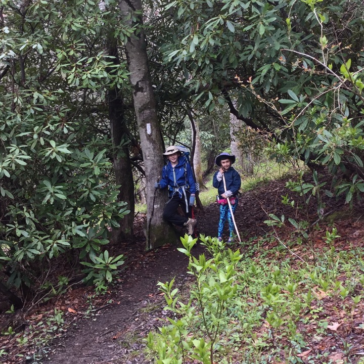
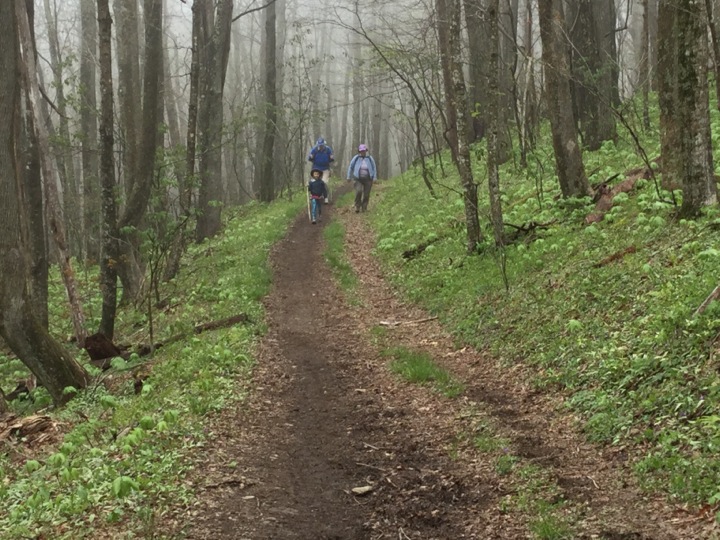
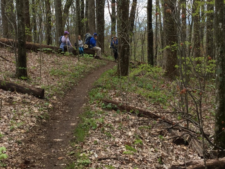
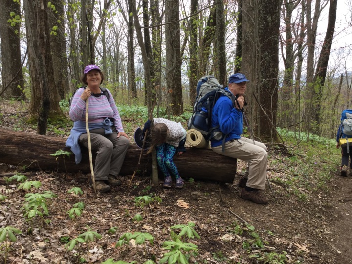
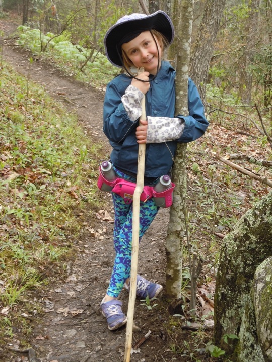
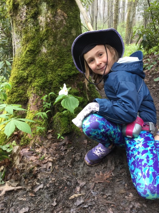
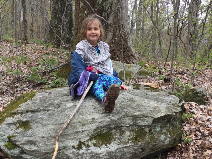
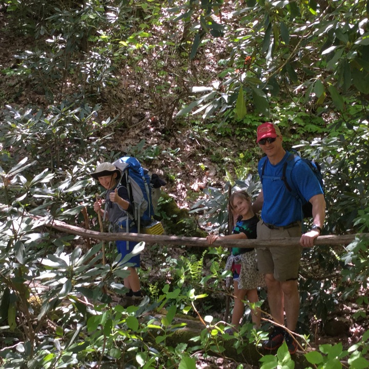
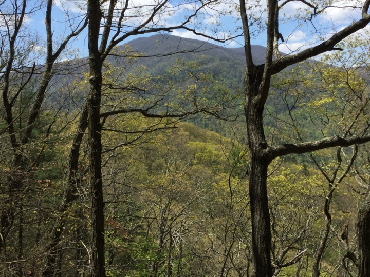
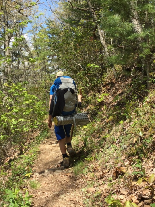
On the Trail, Day 1
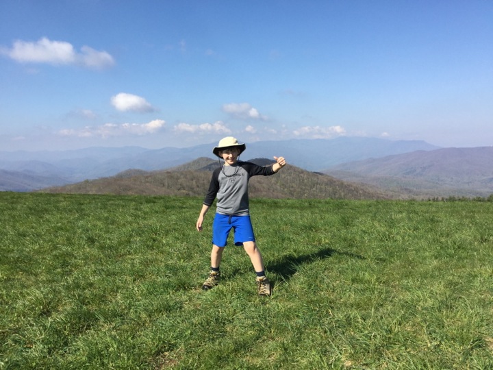
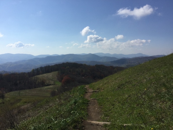
The lead picture is at the Max Patch parking lot. We headed out and here are some pictures along the way.
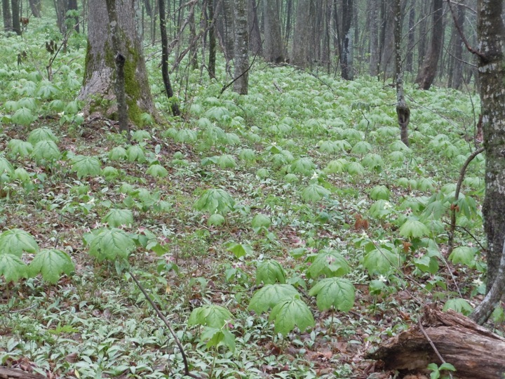
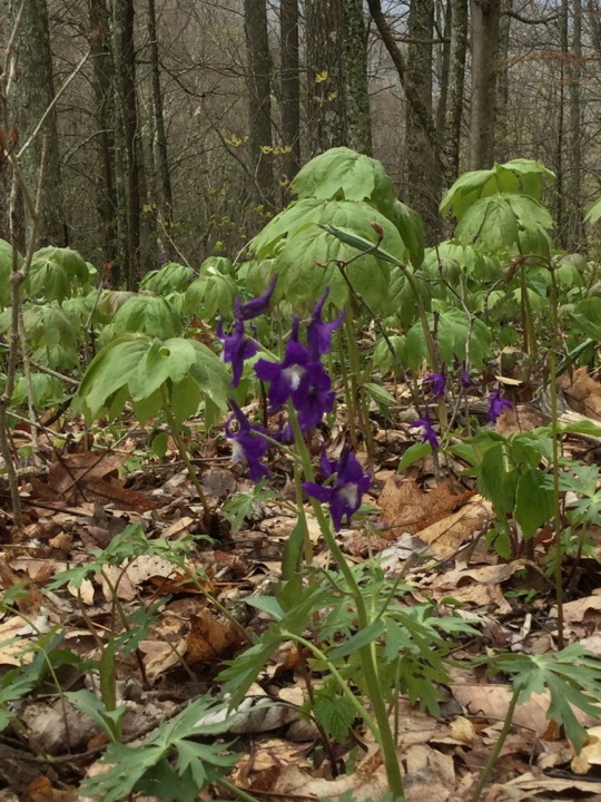
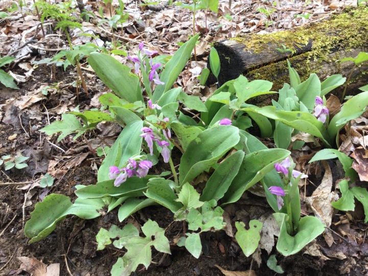
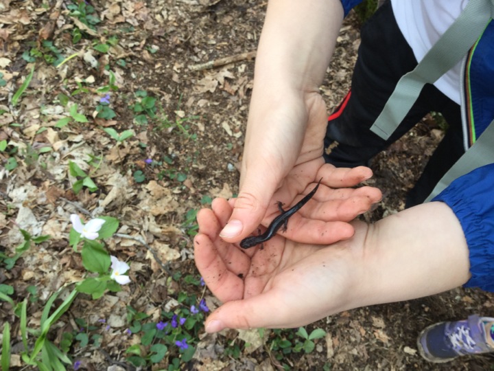
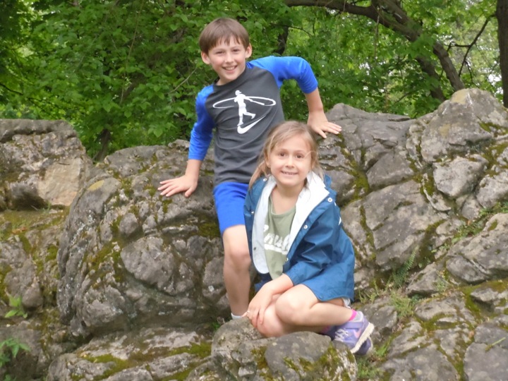
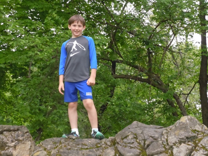
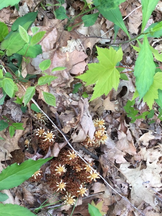
The preceding pictures are displayed in approximate chronological order. However, there are some with a common theme, that I thought would be cute to show together.

After about 4.5 miles we realized we had been hiking away from Hot Springs. With the fogged in Max Patch and the twisty road to get there, my intuition had failed me. I had made the most tenderfoot of tenderfoot mistakes — I failed to orientate the map with a compass. Everyone was a good sport, and we headed back to Max Patch. There were some positives — we thought it unlikely that the intended trail could be as pretty this one and we got to actually see Match Patch
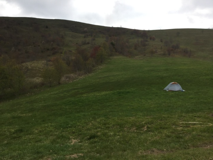
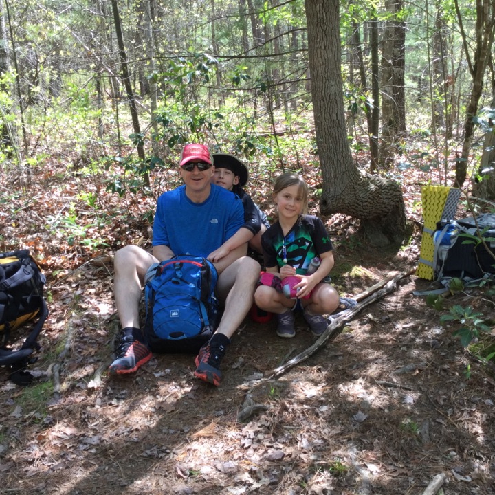
Back at Max Patch
We were back at Max Patch in plenty of time to set up camp and have our dinner. Cody shared his dehydrated chicken and rice meal with me, and I gave him one of my boiled eggs. Cody is a enthusiastic camper. Among other things, he took the lead role in hanging the bear bag and patiently dipping water from a trickle of a stream.
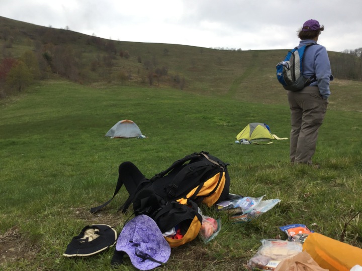
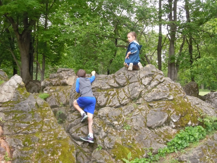
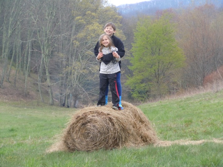
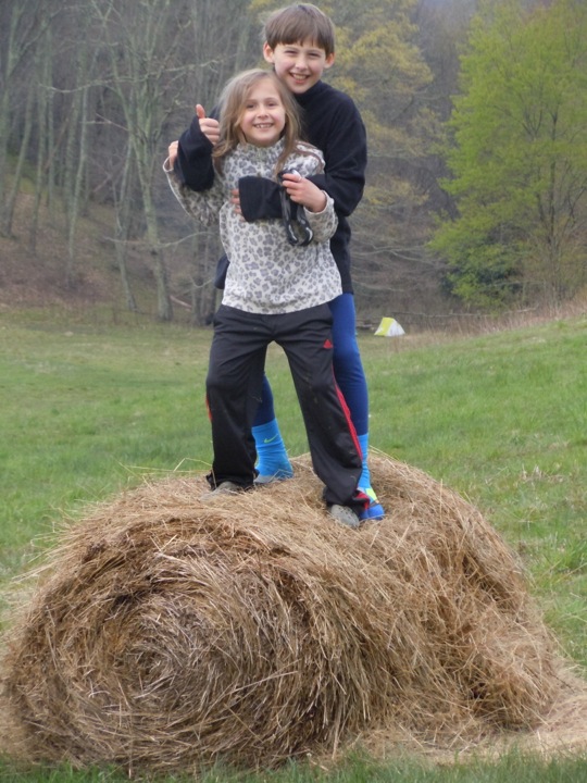
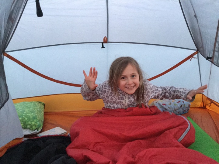
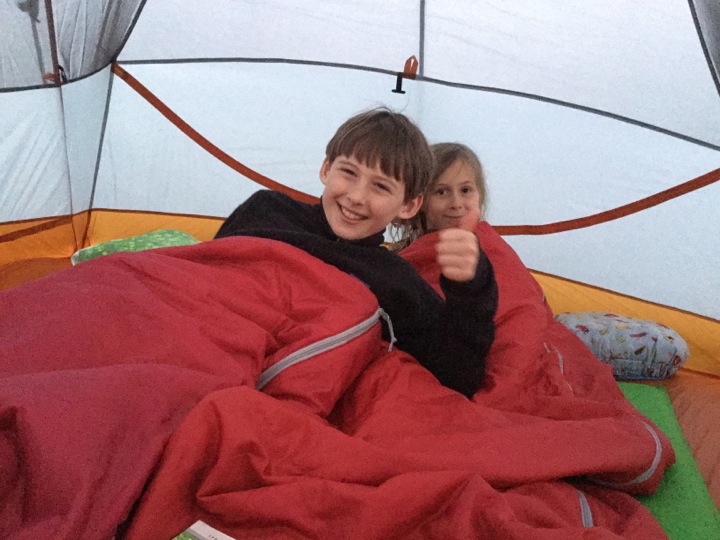
King and Queen of the Mountain
Home Away from Home.
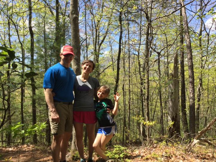
Day 2
Diane and family were a little faster breaking camp than Mary and me, so she and Cody headed out for the summit.
At this point we are twenty miles from Hot Springs and thought it too much to do in two days. We drove to the only intermediate point on the AT accessible by car, Garenflo Gap. From here it is only six miles to Hot Springs. Chad met us here.
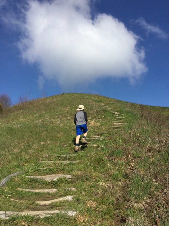
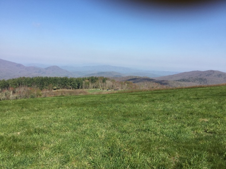
On the Trail Again
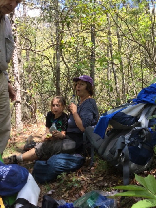
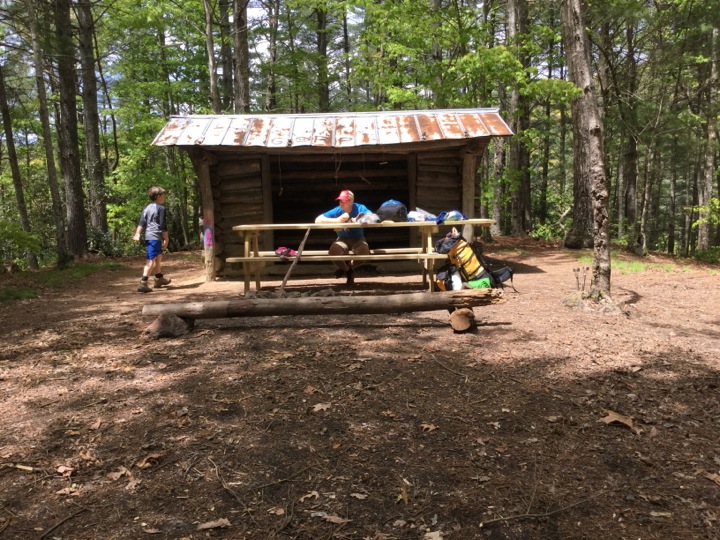
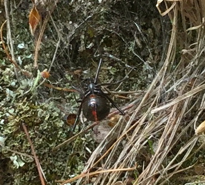
We took a break at Deer Park Mountain Shelter. The picnic table was built by a group of boy scouts just before we arrived.
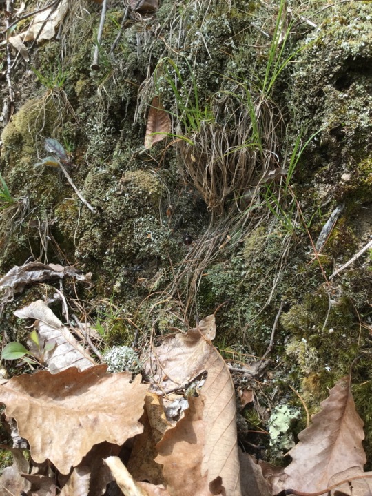
In case you missed it, the spider that Skyler spotted is in the picture above. Here he is enlarged.
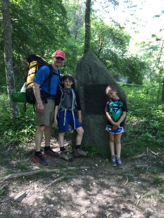
This is the trail marker at Hot Springs. Our wonderful backpack is over.
There was no lodging or campground space in Hot Springs. We went to Asheville and had a wonderful evening.