How trip came about
I have heard of the Grand Canyon all my life and have visited the north rim twice during the last few years. I have considered hiking to the floor and back, but thought my conditioning was not up to it. Friend, Harry Hall, proposed we do the quintessential hike that goes down from south rim via the South Kaibab Trail to Phantom Ranch. Then, after two nights at Phantom Ranch, goes back to the south rim via the Bright Angel Trail. I thought, if Harry can do it, I can do it.
We tried for three months to make reservations at Phantom Ranch with no success. We then booked the hike we wanted with Road Scholar, http://www.roadscholar.org/. Then came the conditioning. I did the stair machine at the Y, wore a loaded backpack between my parking garage and office, and went up and down stairs in my office building. I did some real hiking, mostly in the Kentucky Red River Gorge and at the Indian Fort Pinnacles. I even enrolled in a Pilates class at the Y. I didn’t feel like I was doing enough, but all my friends said I would do fine.
Getting started
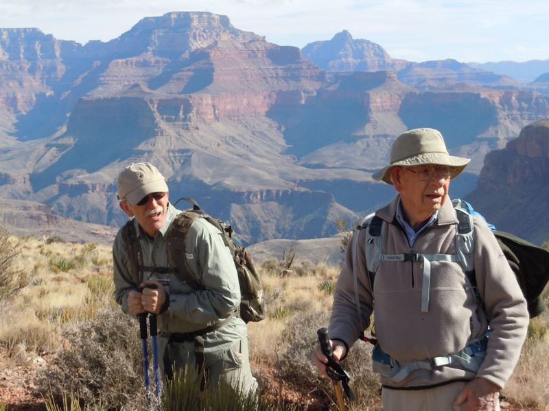
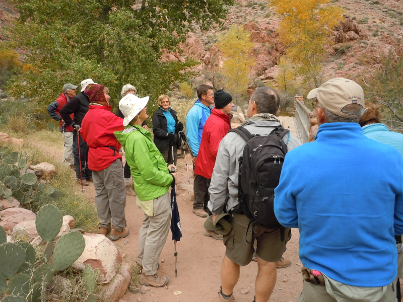
We arrived at the South Rim Of the Grand Canyon late on November 17 and were joined by Harry’s bother-in-law, Wes. There were 17 participants in all. The next day was instruction, an interpretative hike along the rim in the morning, and a practice hike in the afternoon. Our guides were Joanna Joseph and Mike Masek. The practice hike took us a little over a mile down the Bright Angel trail and back. Our guides made suggestions on backpack adjustments and other practical hints.
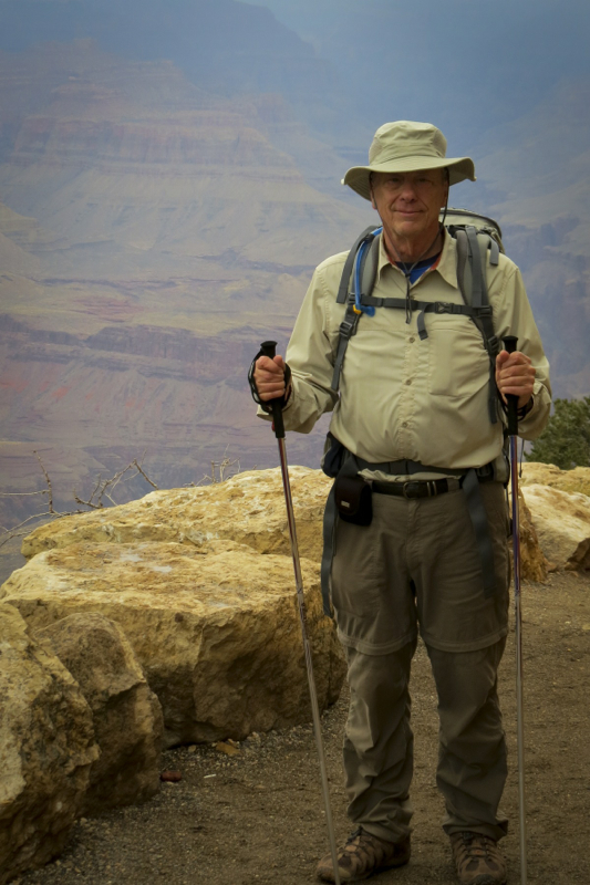
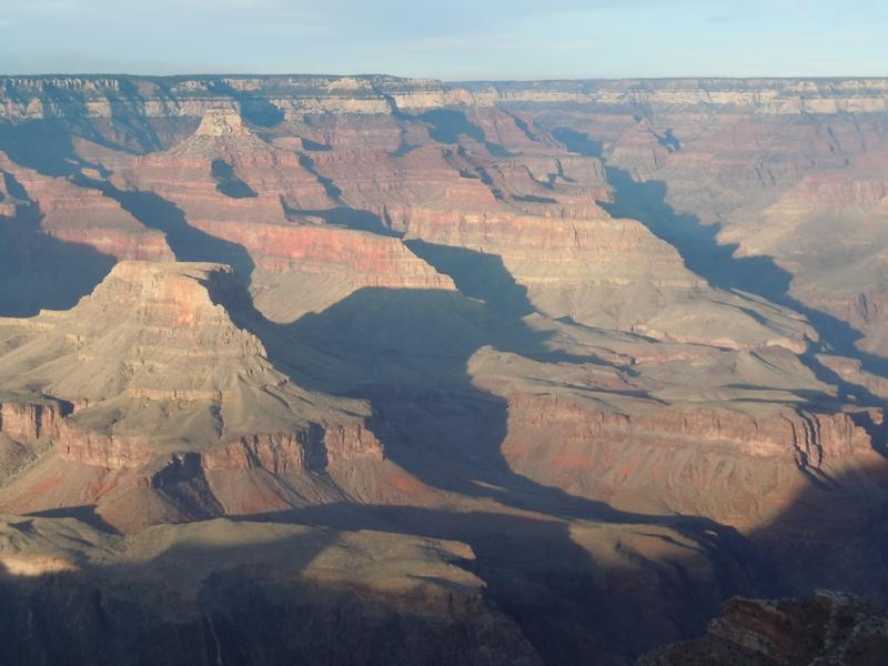
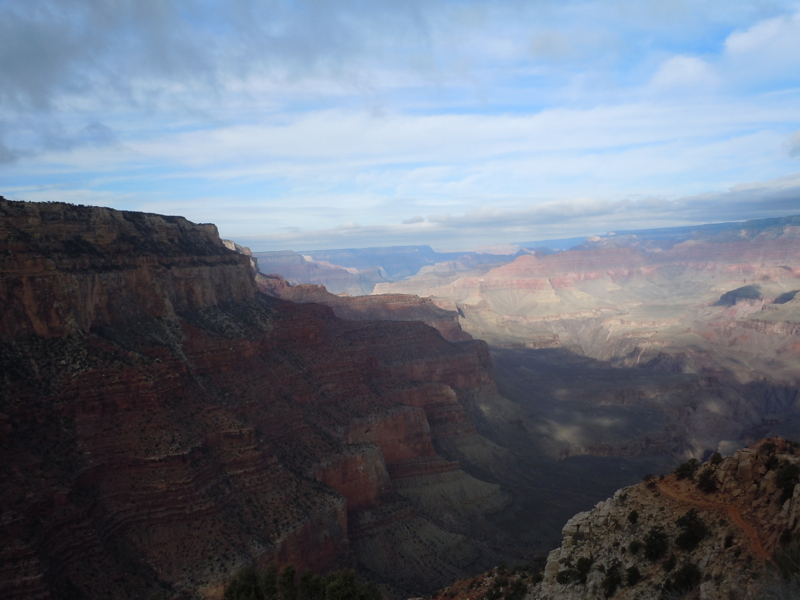
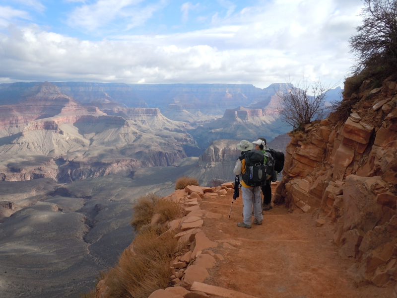
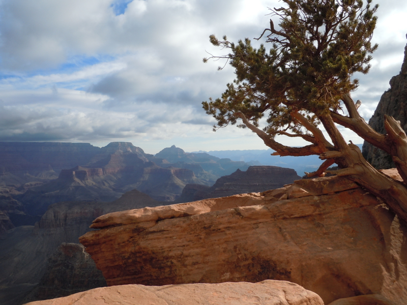
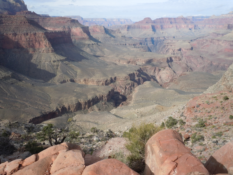
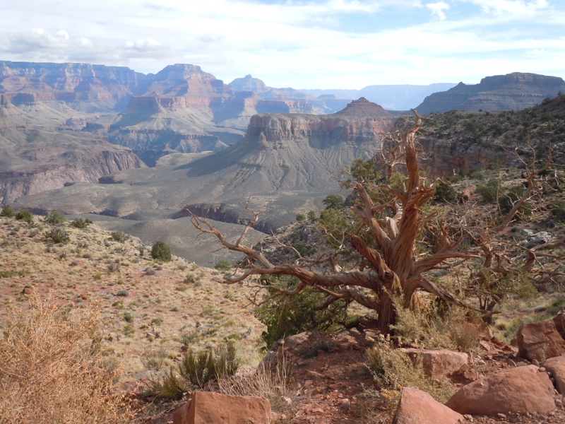
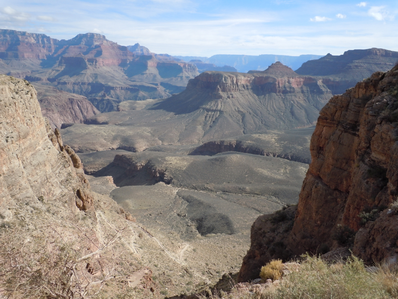
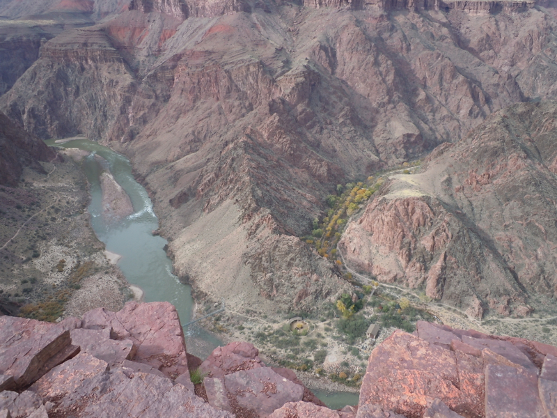
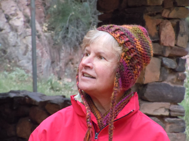
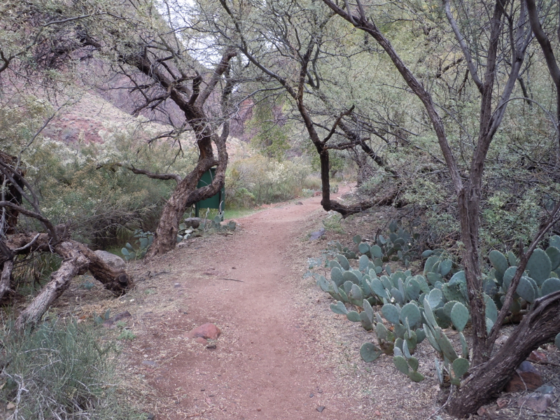
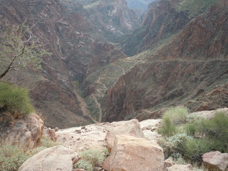
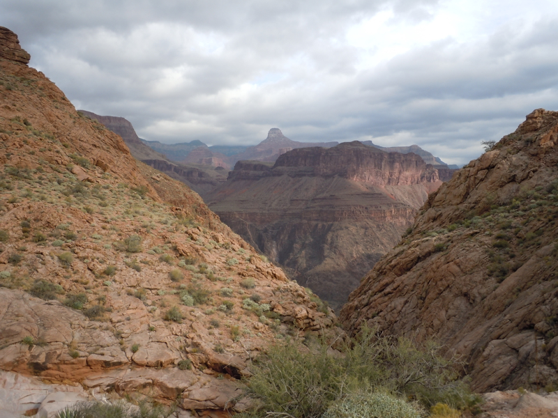
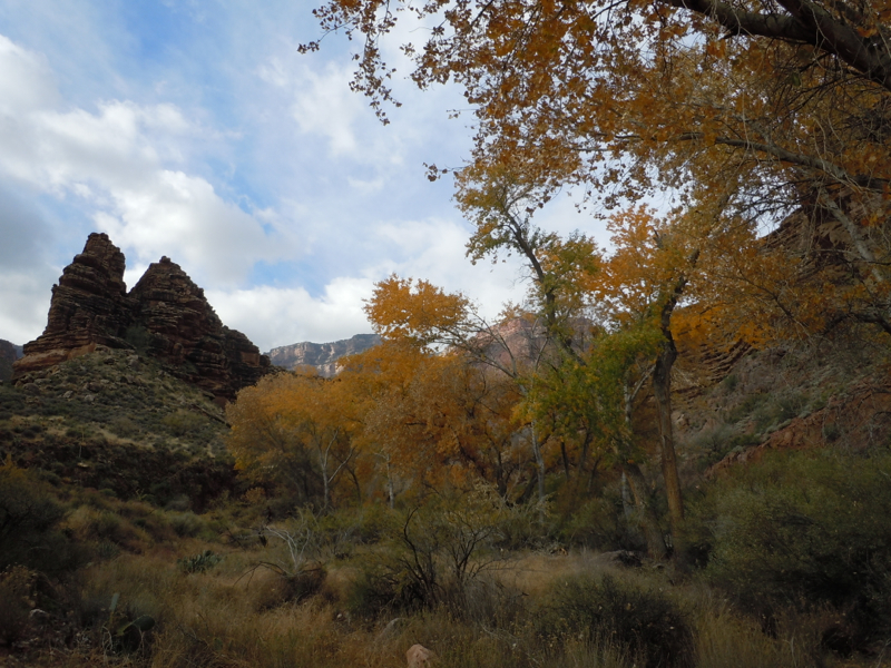
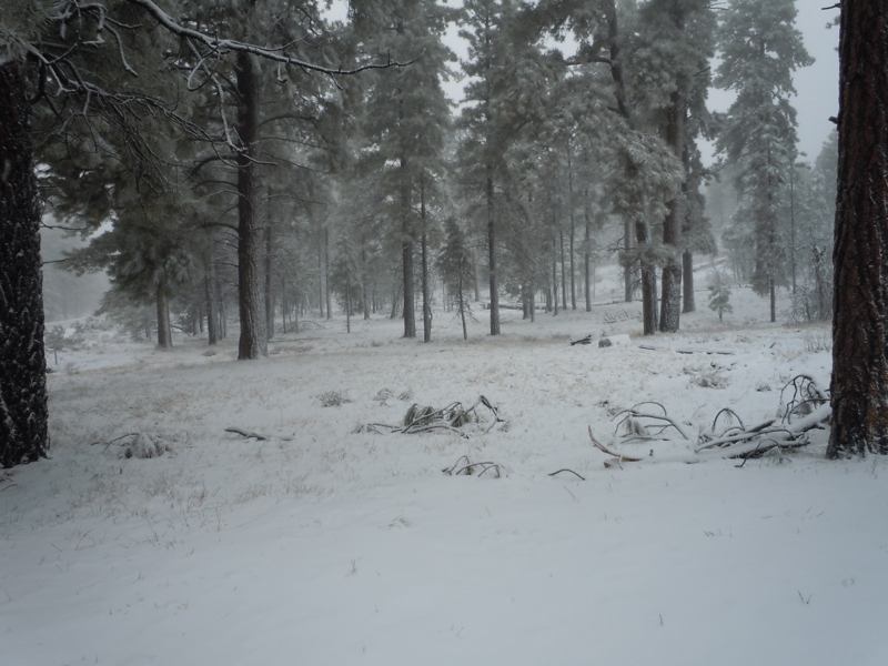
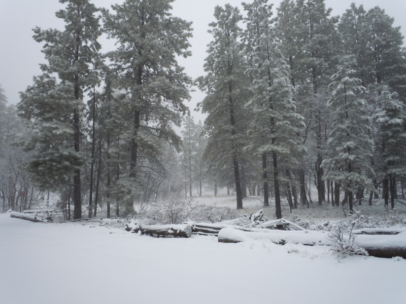
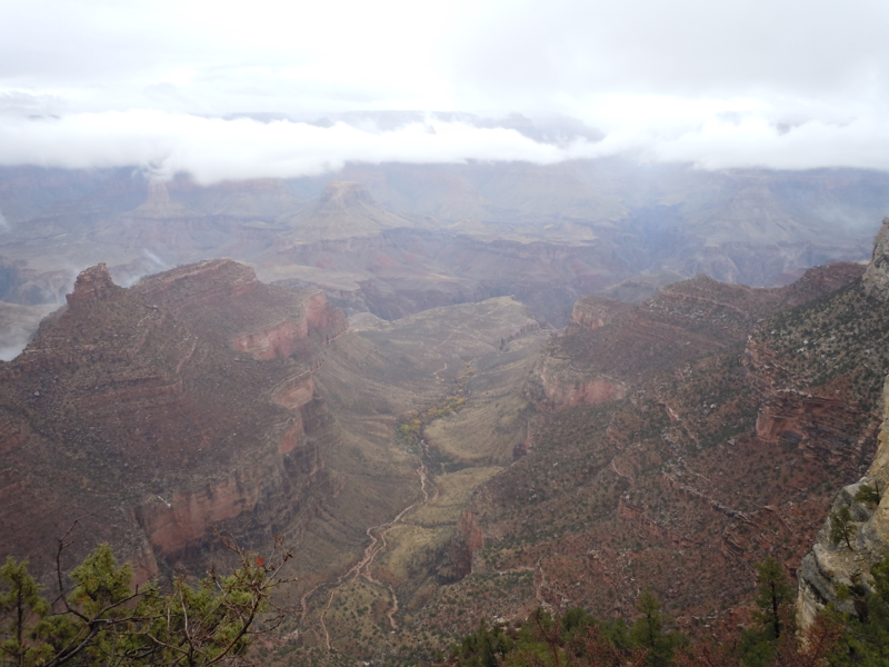
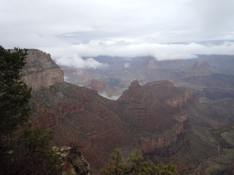
After the practice hike my wife, Mary, and I took the shuttle toward Hermits Rest. The lead photograph and the next few were taken on this jaunt.
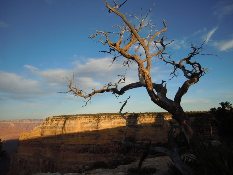
This is one of the relatively few places where the Colorado River can be seen from either rim. This is because the river has cut a deep inner gorge. From most rim view points, one doesn’t get a true feeling about the total depth of the Canyon.
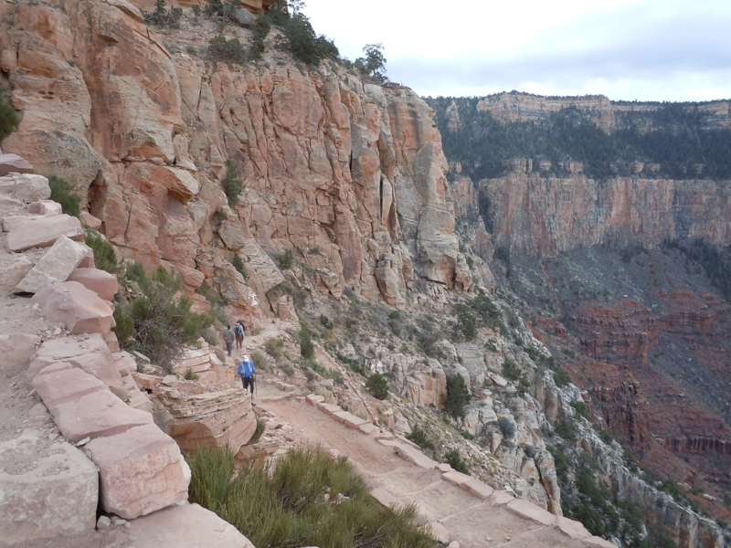
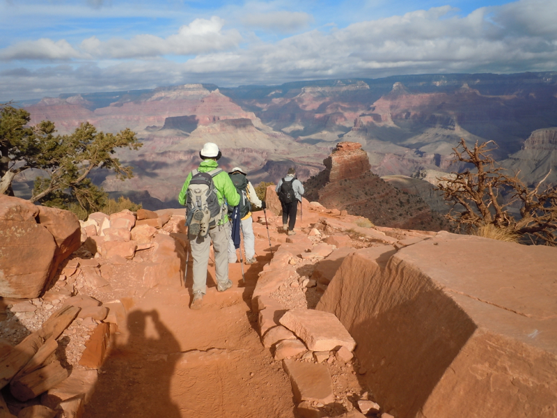
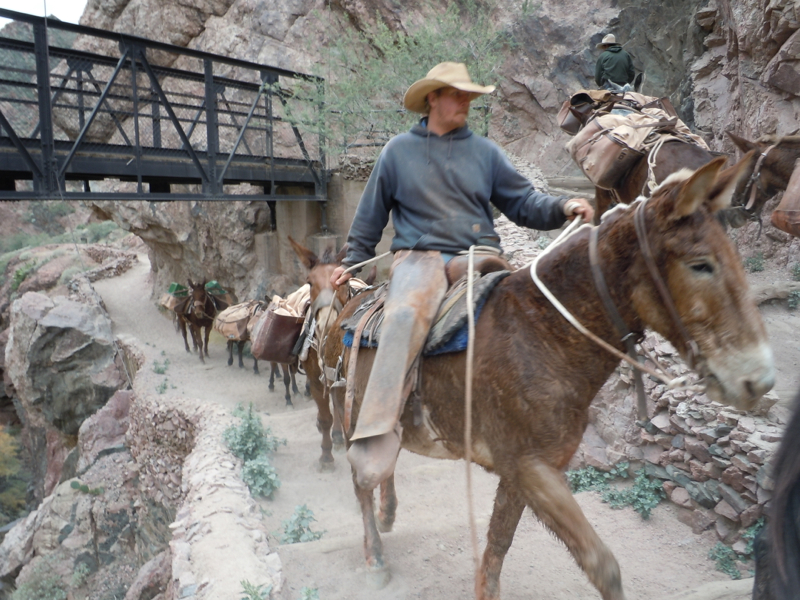
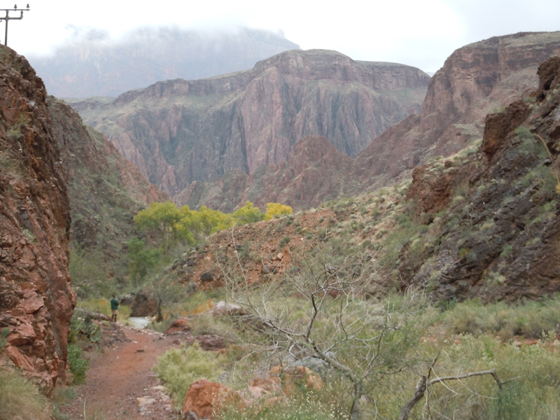
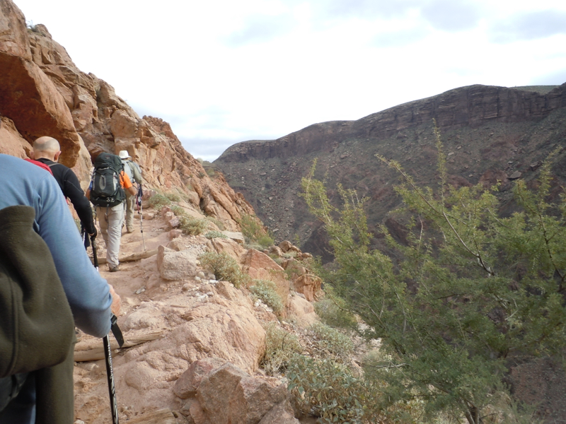
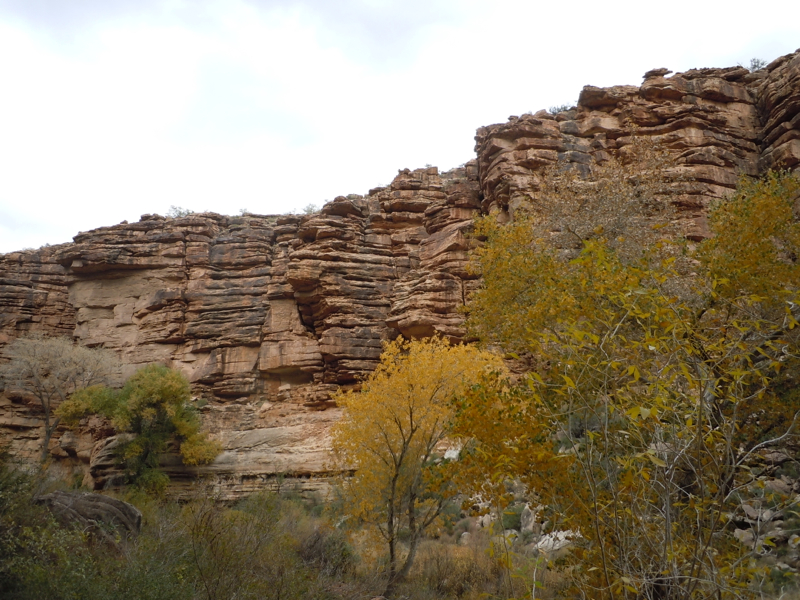
The South Kaibab Trail
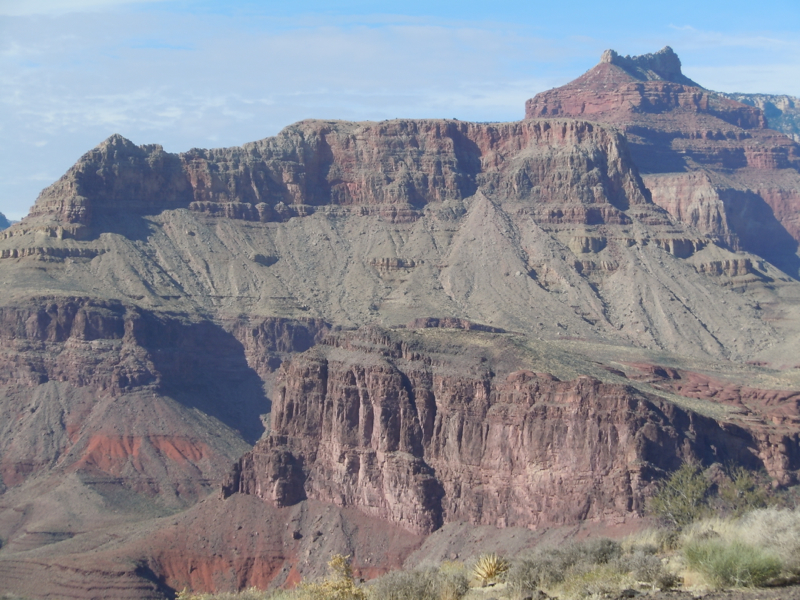
The South Kaibab Trail starts from the south rim at elevation 7250 feet and goes to the confluence of the Bright Angel Creek and the Colorado River, elevation 2450 feet. That is nearly a mile elevation difference. Today we start down. The next several pictures were taken along the way.
The trailhead:

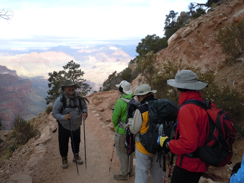
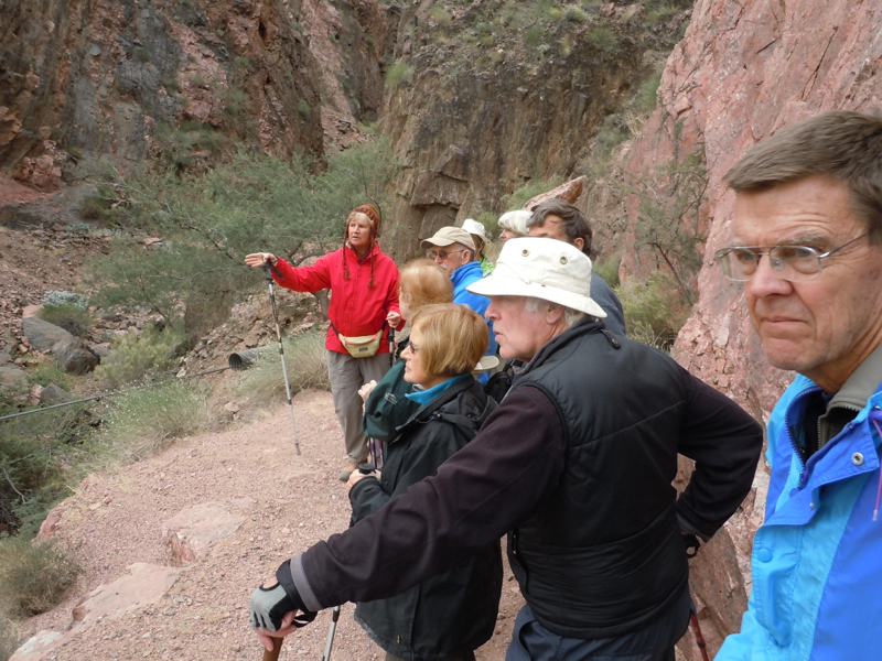
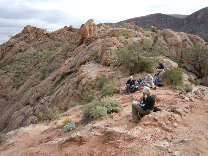
Leader Mike with last minute hints:
Road Scholar programs include educational components. Mike’s expertise includes plants and flora. Here he is talking about a relative of the Yucca.

Wes and Harry seem interested.
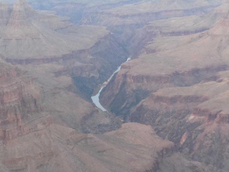
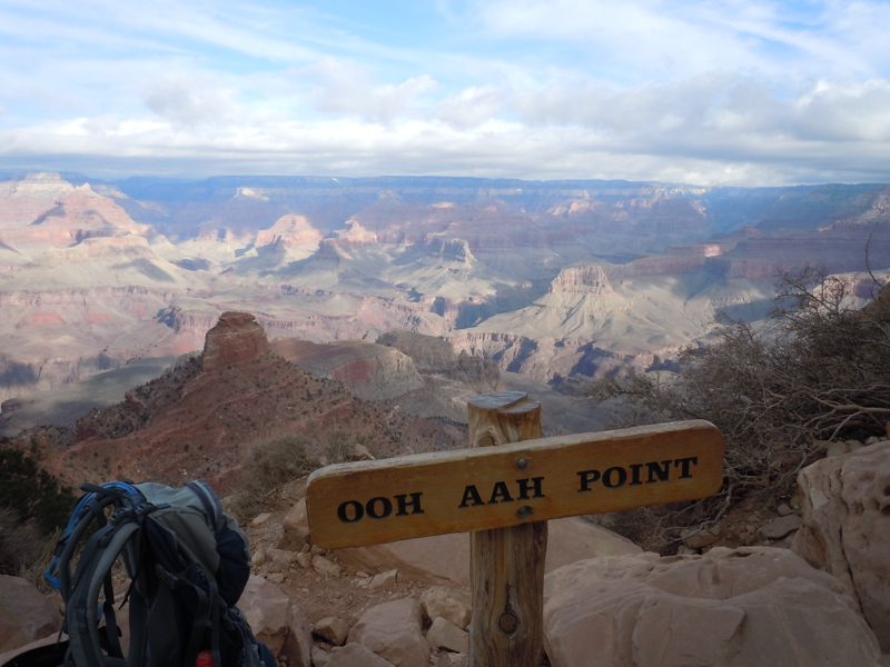
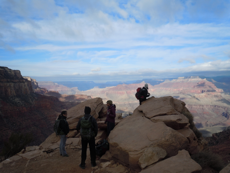
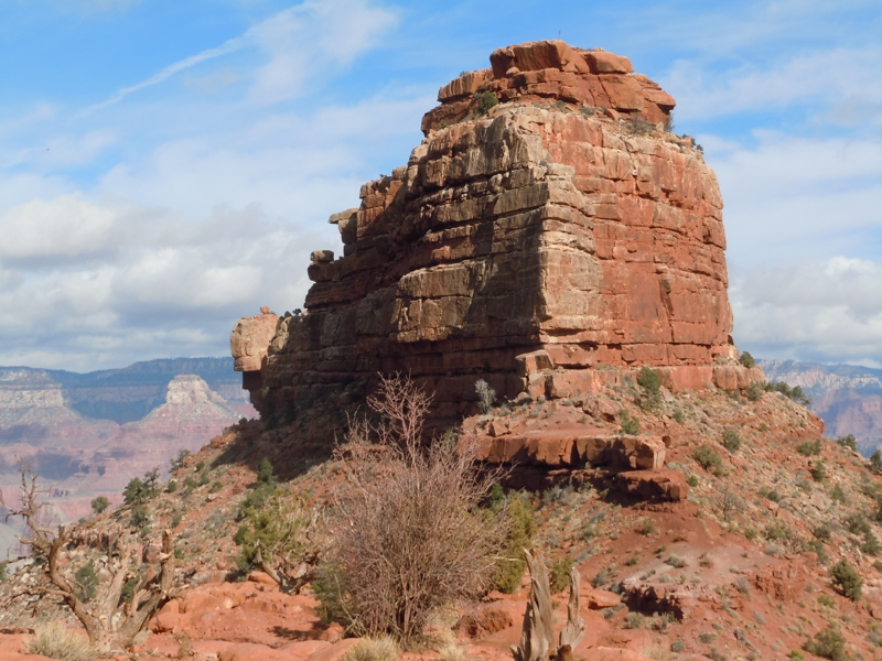
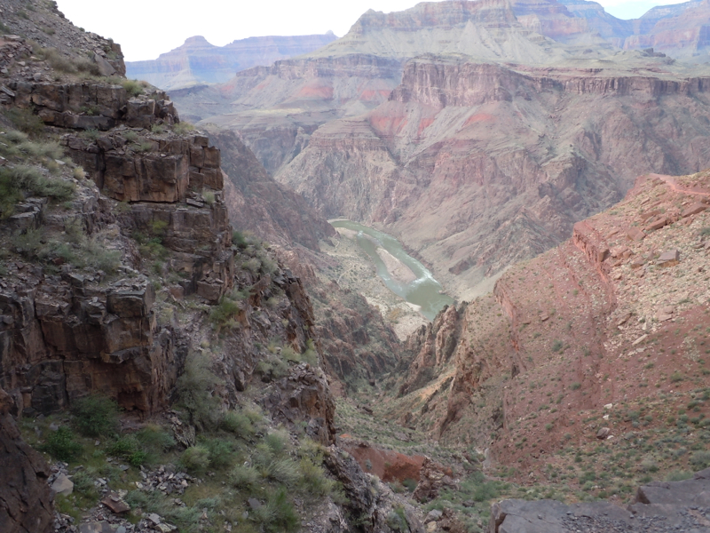
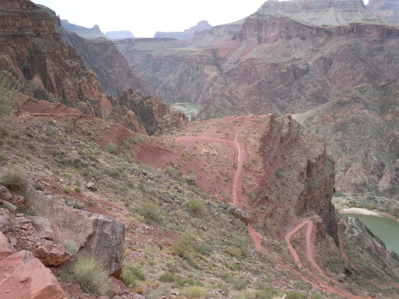
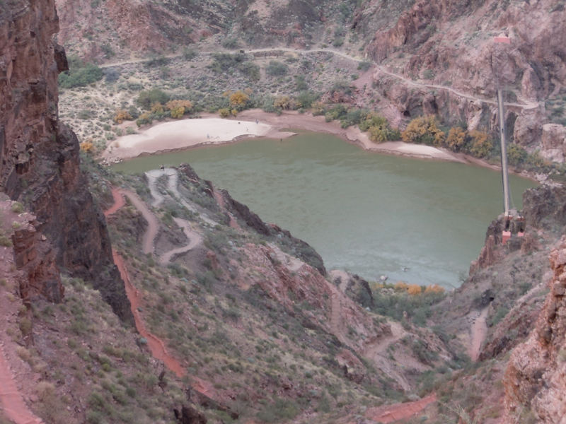
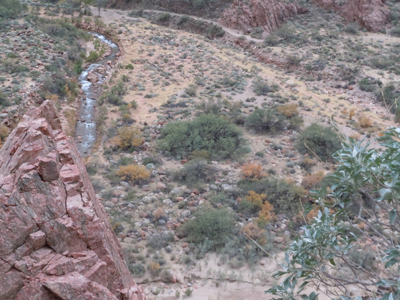
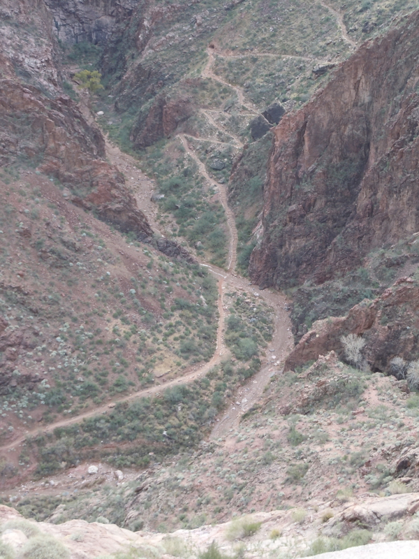
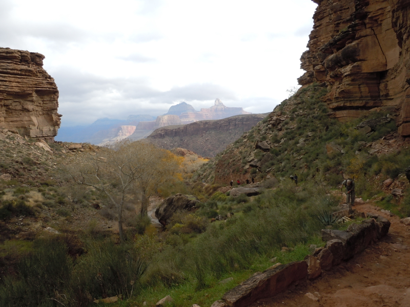
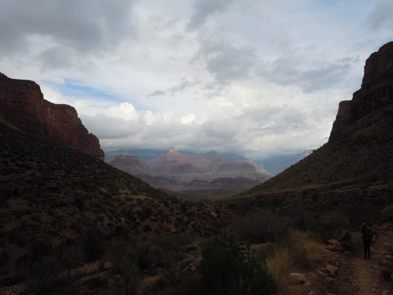
Tipoff point is the beginning of the inner gorge. On the South Kaibab Trail, the elevation change in the inner gorge is about 30% of the total elevation change. The remaining pictures in this section are from Tipoff point to the river.
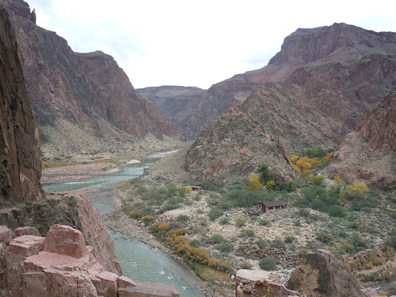
Setting my little camera on its highest zoom gives this view of Bright Angel Campground. Phantom Ranch is nearly a mile up the creek.
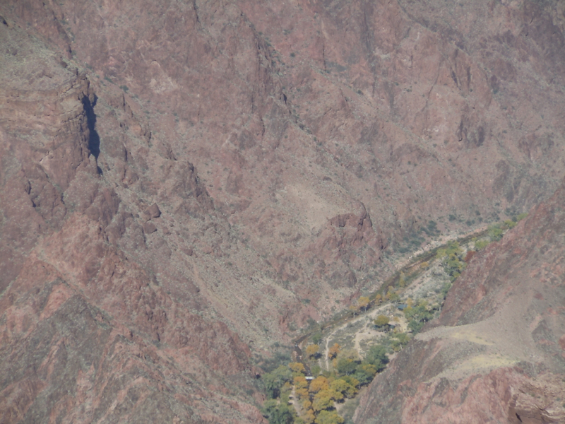
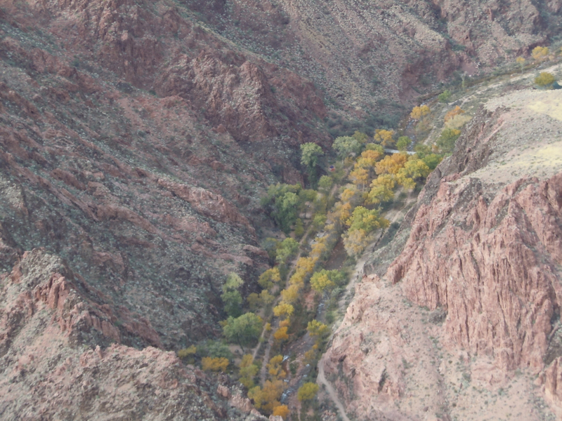
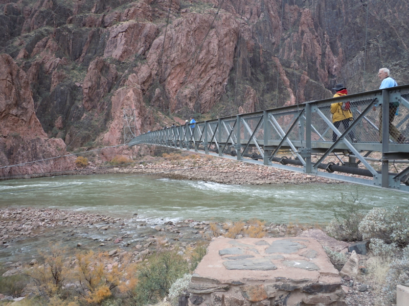
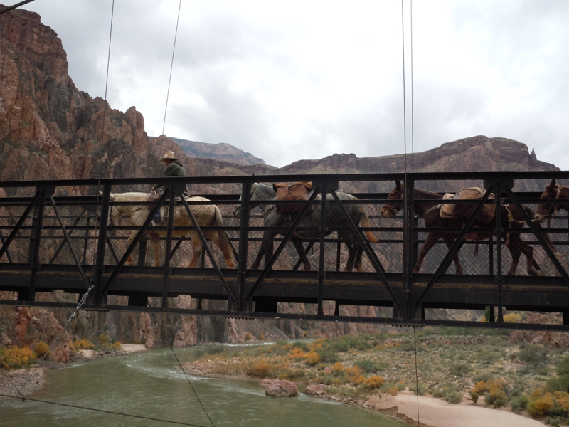
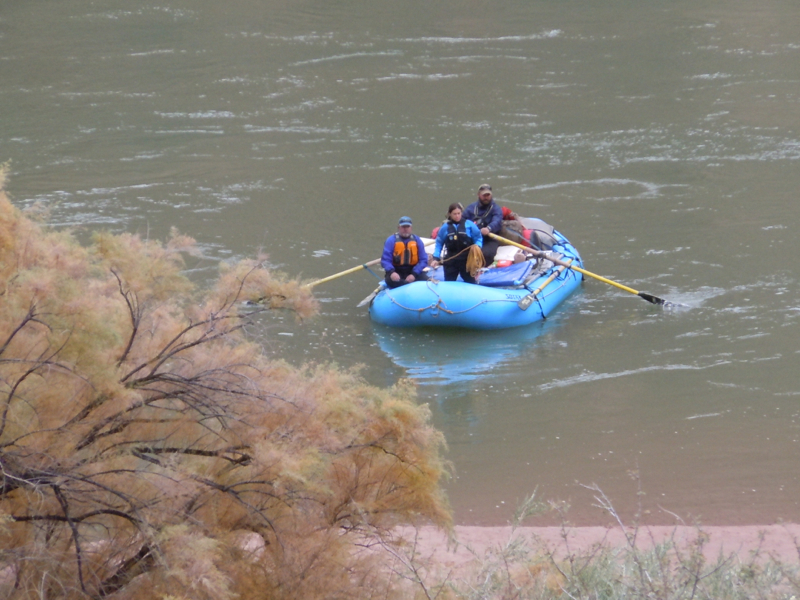
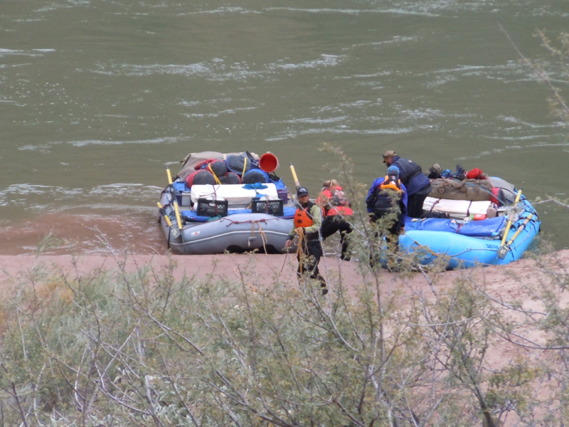
From here we go down a few more switchbacks and across the black bridge on the right. The trail on the other side of the river takes us to the Bright Angel Campground. Phantom Ranch is up the creek from there. The beach is a popular landing spot for rafters.
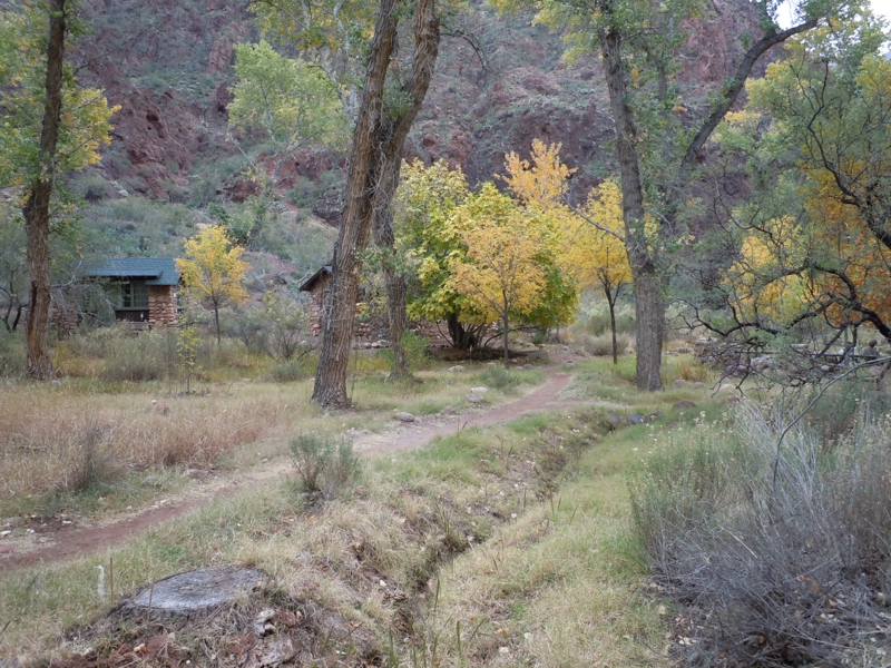
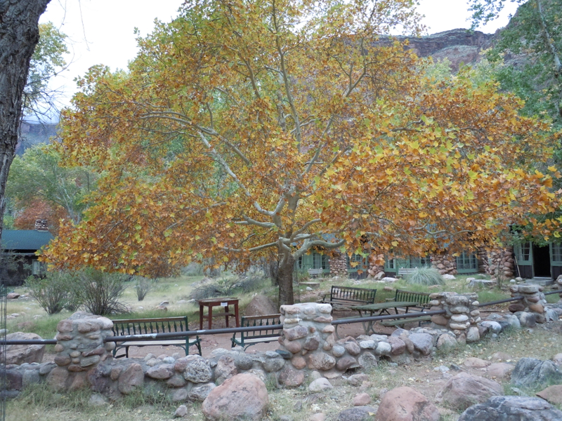
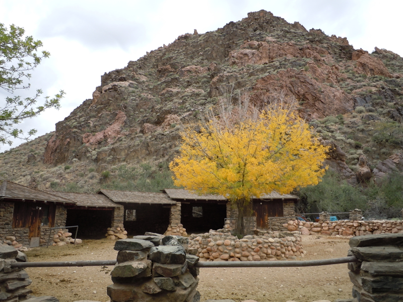
Phantom Ranch
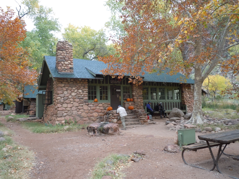
This is the store, canteen, and mess hall.
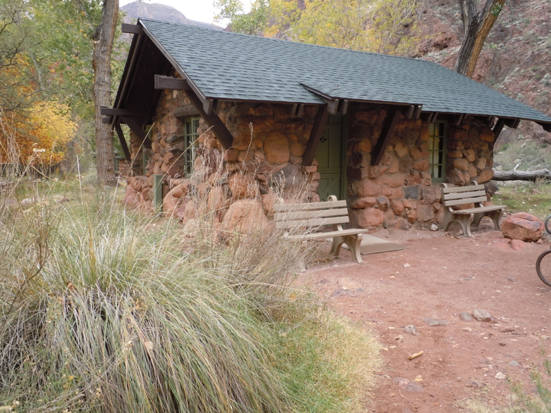
This is our cabin. It was originally intended to accommodate two beds. It presently contains five double bunks.
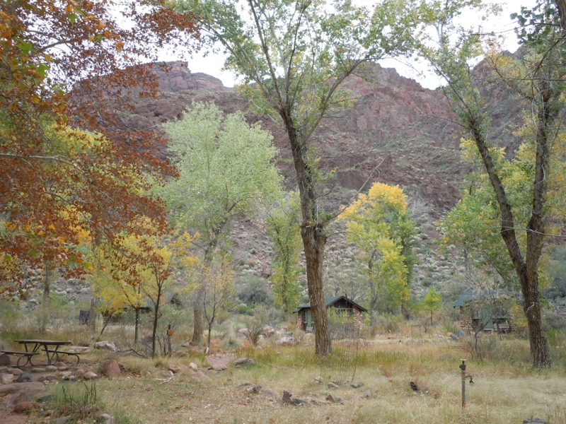
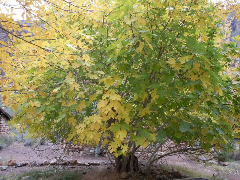
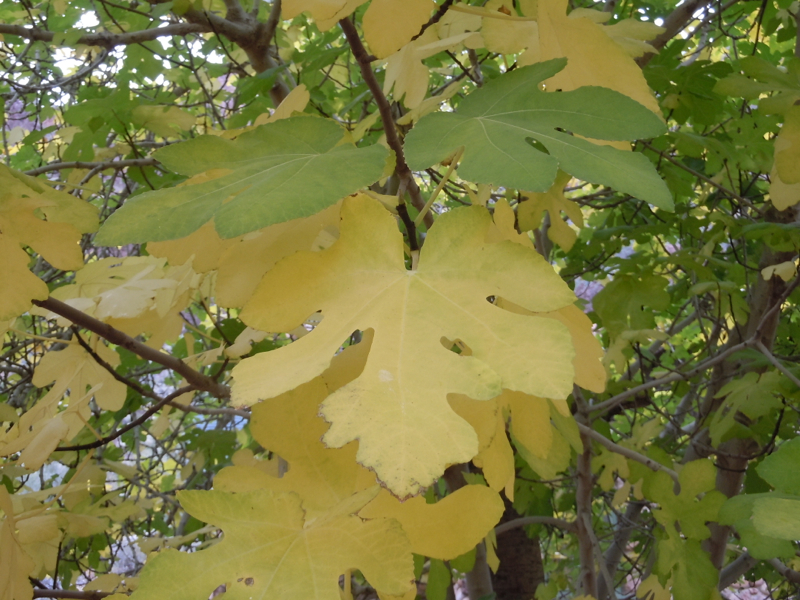
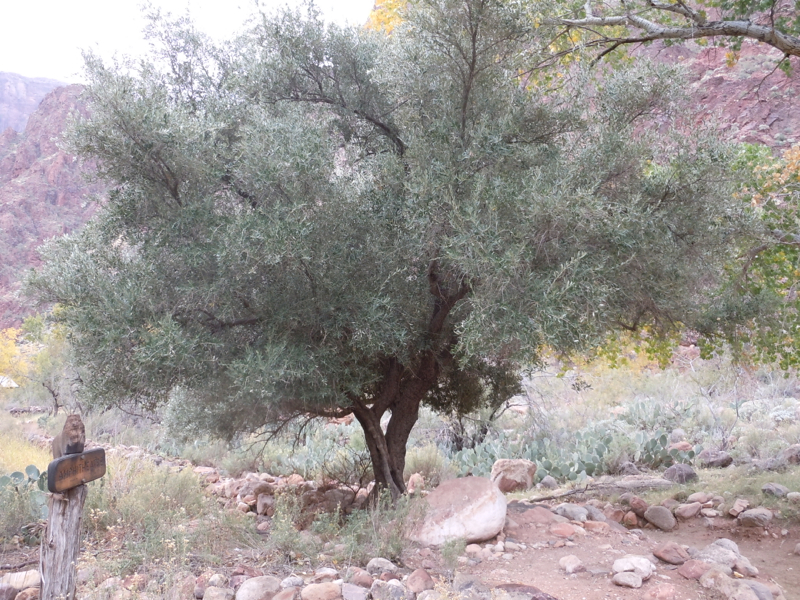
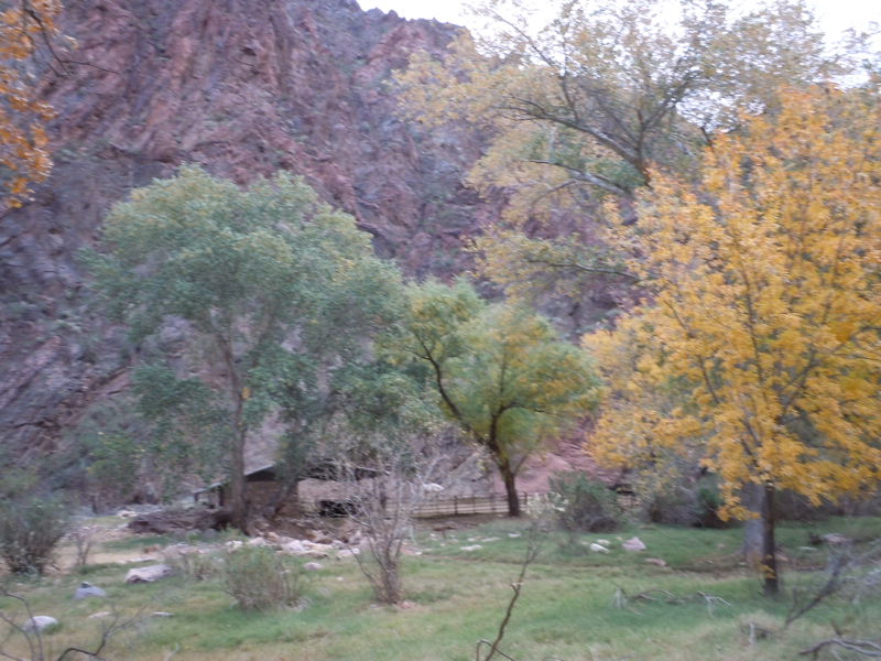
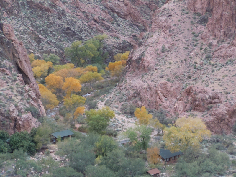
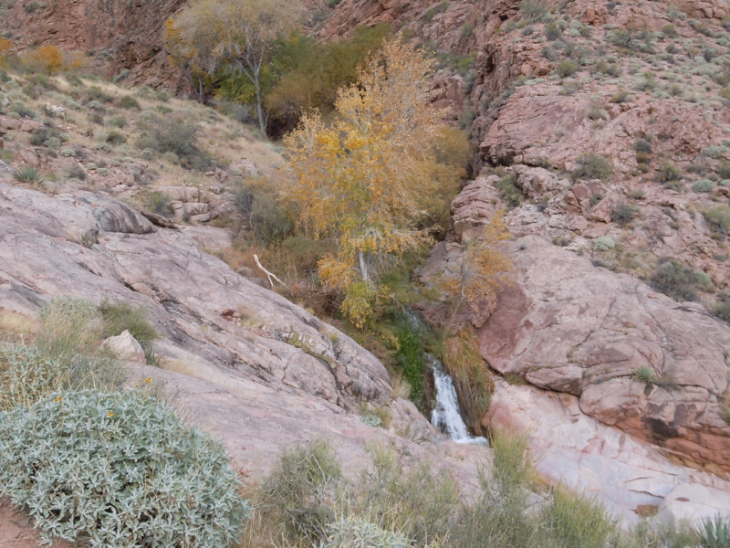
The following are a few scenes from around the Ranch. Originally there were no trees on the site. There are cottonwoods which are native to the area. There are a few exotics including fig, olive and sycamore.
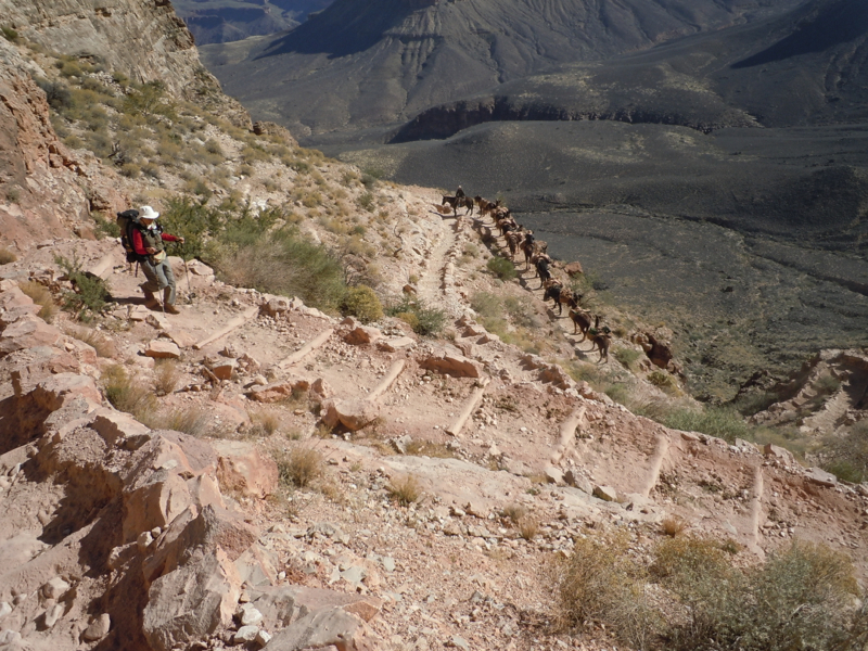
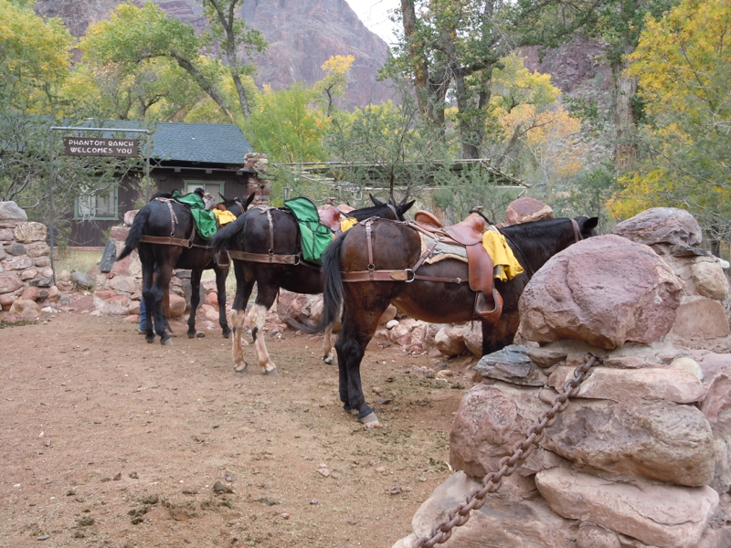
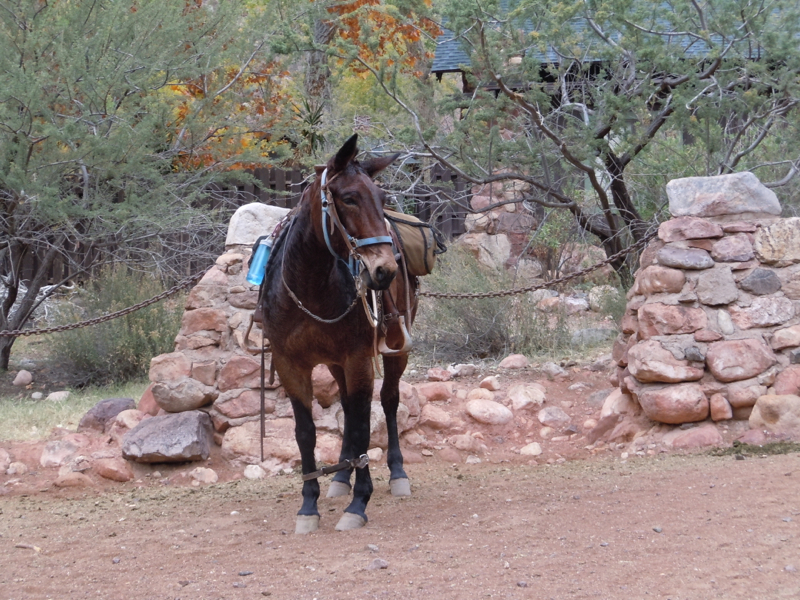
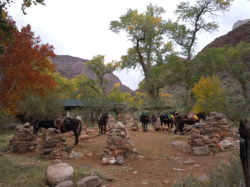
Some people arrive by mule.
A commercial plug
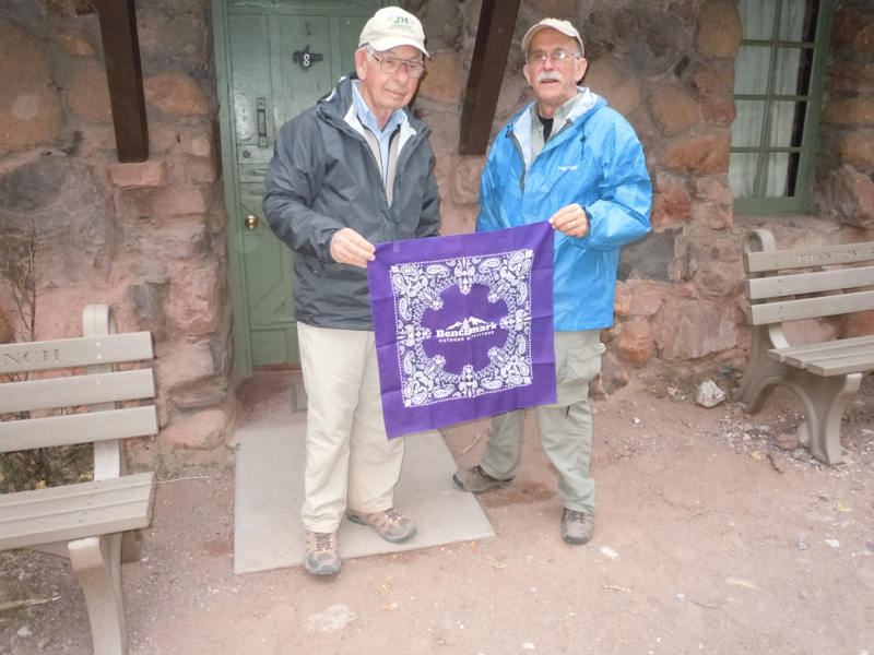
Lexington, Kentucky, our home town, is fortunate to have two independent outdoor outfitters: J&H Lanmark and Benchmark Outdoor Outfitters. Both are public spirited and both give 10% discount to Sierra Club members. I mention them here because Wes lives in Mexico City, and could not find the consultation he needed. He felt Anne Baker, a Benchmark employee, went well beyond the call of duty helping him over the phone. Harry and Wes display a Benchmark bandanna to show their appreciation. Looks like Harry forgot to take off his J&H hat.
Layover day morning hike
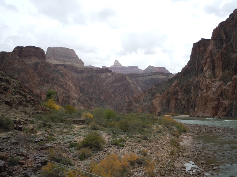
On the morning of our layover day we start a hike going toward the river.
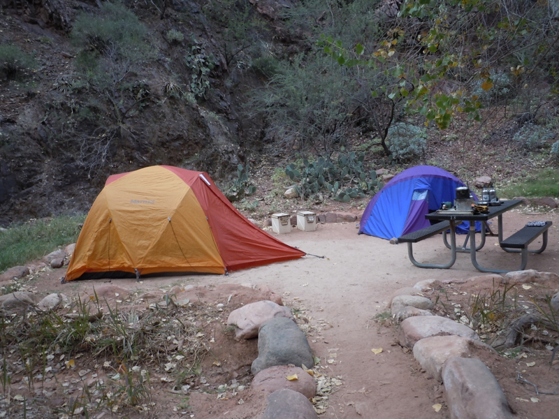
We pass through the Bright Angel Campground. Most of the sites are vacant, but this is a nice one.
A candid portrait of Joanna:
And one of Mike:
Passed a corral.
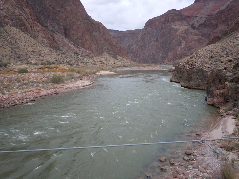
This is the silver bridge on the Bright Angel Trail, downstream from the campground. We will go over it again when we go out tomorrow.
Views from the bridge:
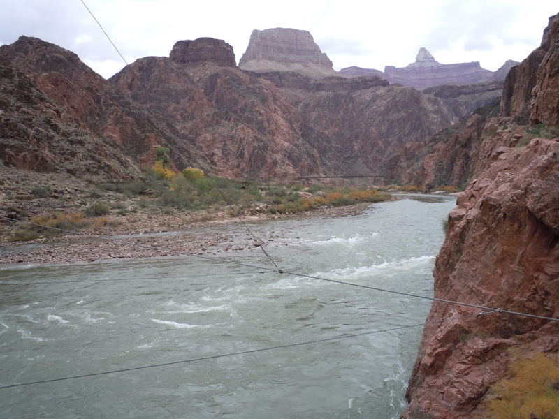
We now head upstream on a trail cut into the bluff.
Look closely — you can see the corral we passed by earlier.
We are now directly opposite the campground.
That is Bright Angel Creek on the left. Note the dry drainage on the right. The Colorado River is just off the picture along the bottom to make a triangle. Joanna read to us the account of a dramatic rescue of five female staff at Phantom Ranch. The girls had come to see a flash flood, but it turned out to be more than they had bargained for. They were trapped in a tiny area near the center of the triangle that stayed above the raging water.
We meet a mule train about to go over the black bridge, the bridge we went over coming down the South Kaibab Trail.
As we stroll back to Phantom Ranch, some rafters land on the beach.
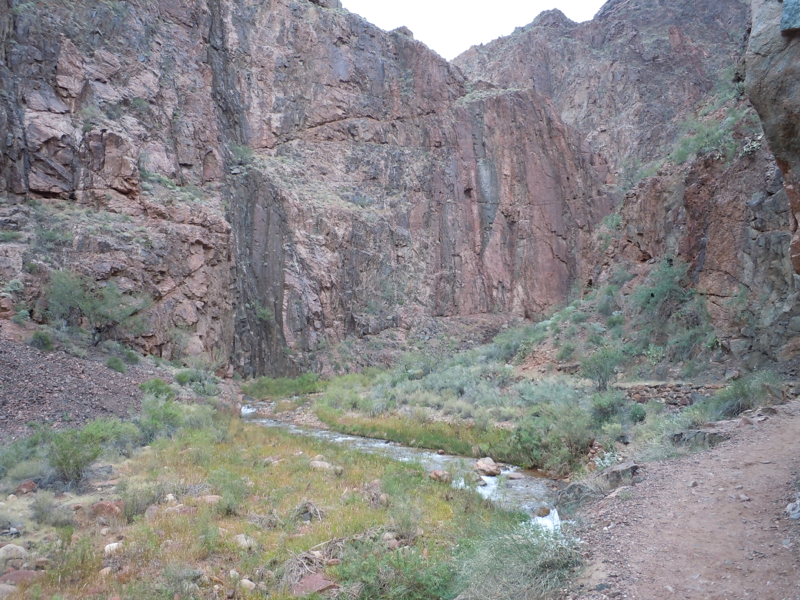
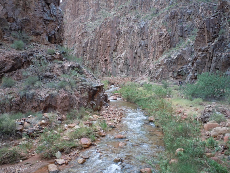
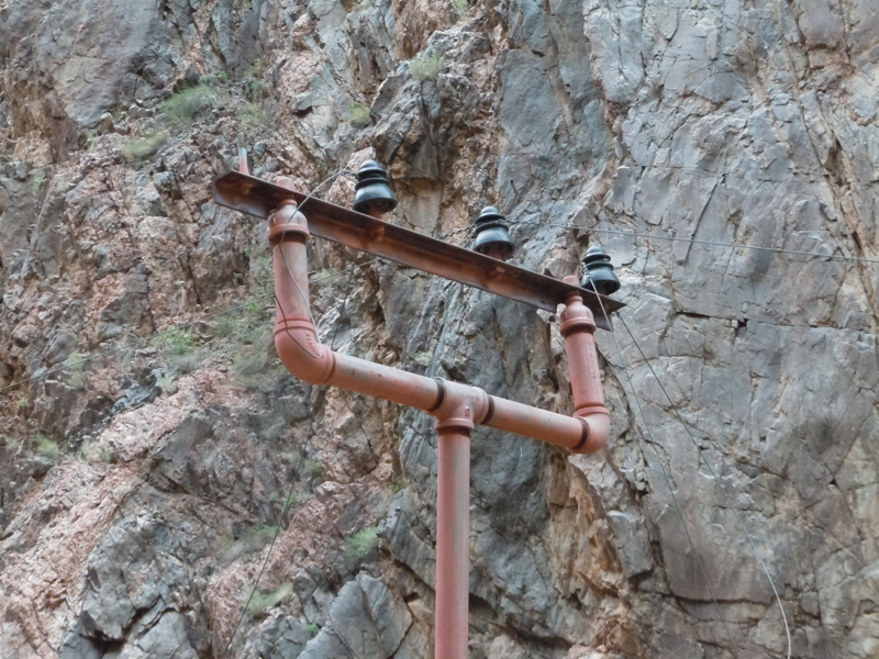
Layover day afternoon hike
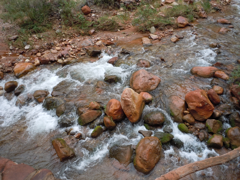
There was planned hike for the afternoon, but it sounded strenuous enough that no one opted to do it. Instead, most of us took a stroll up the North Kaibab Trail which follows Bright Angel Creek.
This is one of the original utility poles. They are now on the National Historic Register.
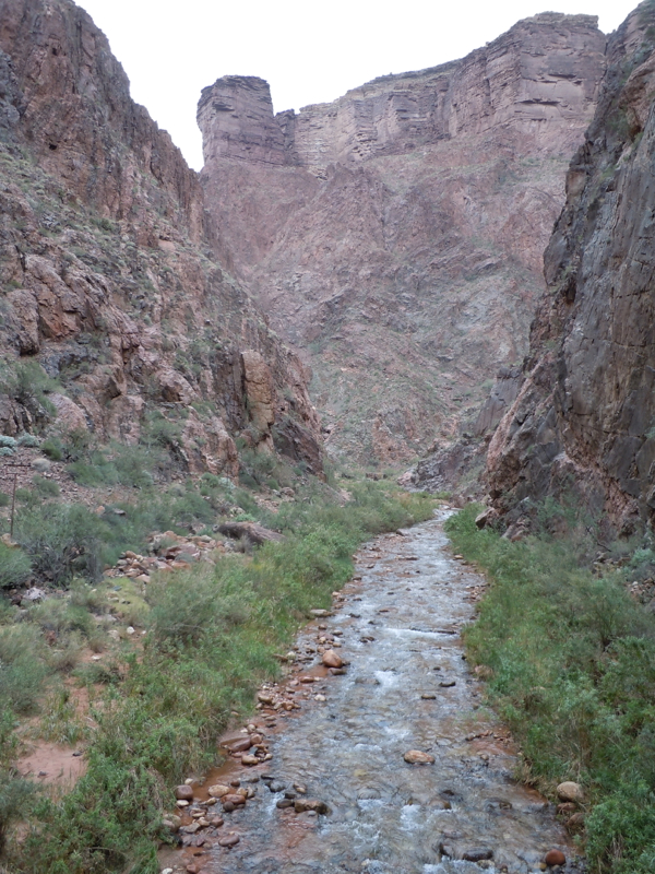
Phantom Creek coming into the Bright Angel Creek was the turnaround point for most of us.
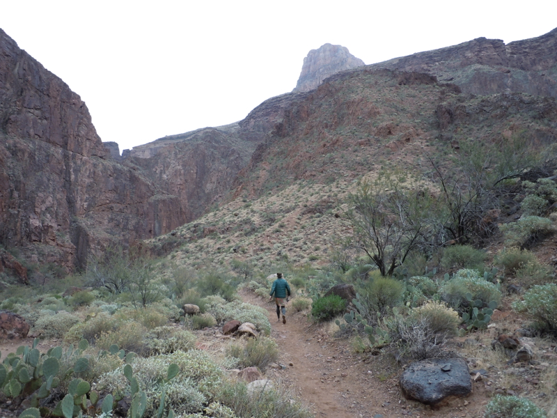
Return to the rim via the Bright Angel Trail
We had the early breakfast and were on the trail when it was just light enough to see. When going up, you can usually see the switchbacks you have done better than the ones you are about to do. My pictures reflect that.
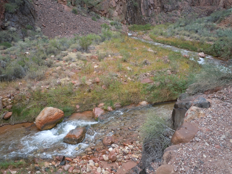
We took a break near Garden Creek, a little below Indian Gardens.

Joanna’s specialties include the geological aspects of the Canyon. Here she is pointing to a place that is missing a million years of sediment — or something like that.

Here I am looking back as I am nearing the end. The weather is beginning to look ominous.
And now off to a soak in the bath tub and later to a nice celebratory dinner with the entire group.
The last day
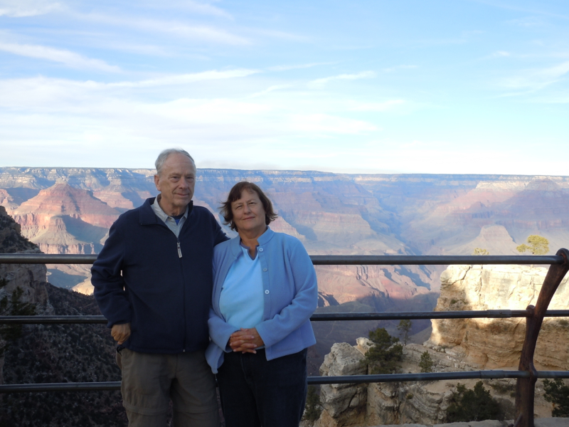
The Road Scholar program concluded with breakfast the next day. We said farewell to our fellow participants and leaders. We are staying another day, mainly I think, because Harry wanted to spend a night in the famous old El Tovar Hotel.
We set out in the car toward Desert View. But alas, it was snowing, and we didn’t see any signs of a snow plow. We turned around and headed to the visitor’s center.
This fellow welcomed us to the Center. He looks cold too. The film and exhibits are nice.
We spent the rest of the day in the village, enjoying the ambiance of the El Tovar and checking out the galleries and museums.
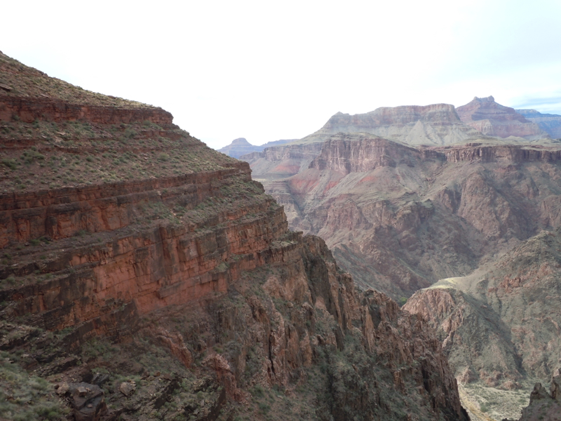
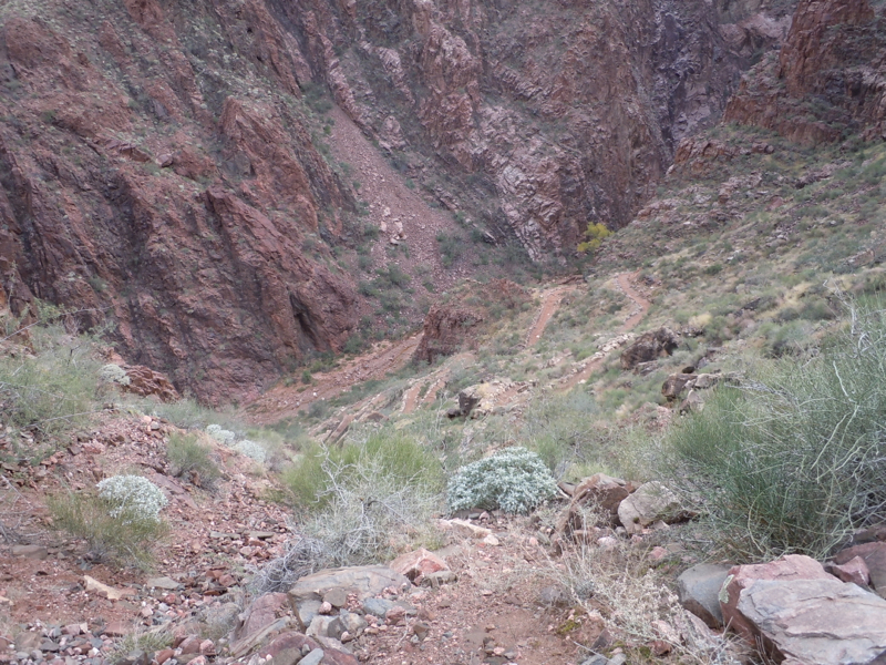
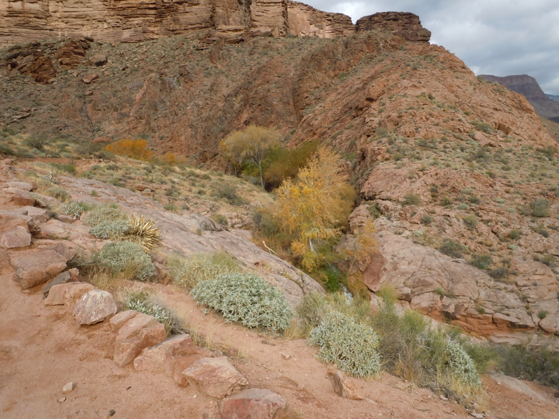
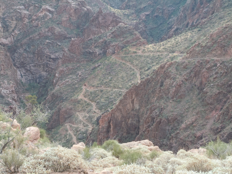
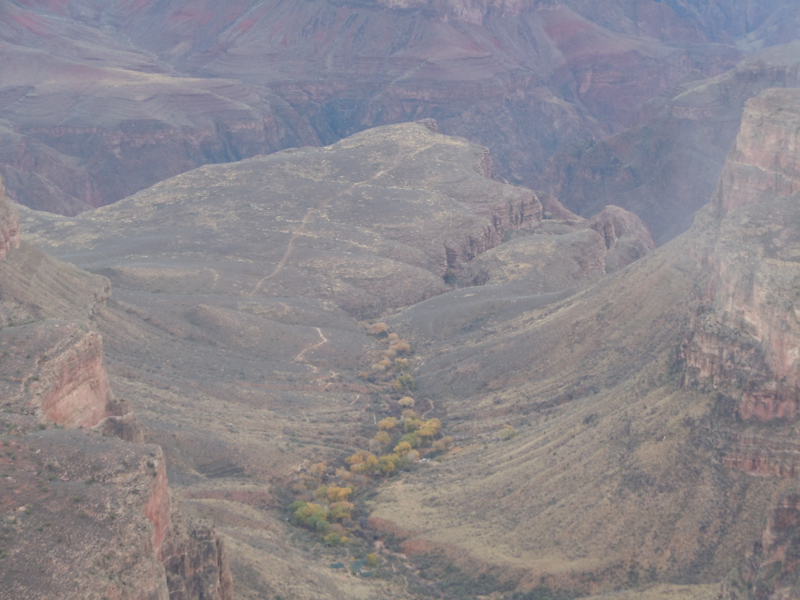
This picture is taken from the Village. The area with trees is Indian Gardens. Just beyond and to the right is a smaller gorge through which Garden Creek flows. That was our route up from the inner gorge.
Postscripts
I thought the Road Scholar staff did a good job. Our leaders, Joanna and Mike were terrific.
I was apprehensive about this hike. To my friends who encouraged me — I did do fine.
Harry’s wife, Betty, took my picture coming off the trail, tummy and all.